
Beverly Neighbors by Block
Public records can describe the parcels around a Beverly address, their recorded property history, and their local civic setting. They cannot establish every person who lives nearby. Begin with the map, then use an assessment record or deed index only for the relationship each source actually reports. A directory or street list can add a historical listing for a stated year. That approach keeps a search for Beverly neighbors tied to land, time, and source limits instead of treating unrelated records as one roster.
| Source | What It Shows About a Block | Access |
|---|---|---|
| Beverly MapGeo | Address position, parcel candidates, selected attributes, map orientation | Public viewer |
| Beverly FY2026 Assessments Online | Fiscal-year parcel and assessed-owner context | Public web search |
| Southern Essex Registry | Recorded deeds, plans, mortgages, and street-index leads | Public index and record access |
| ArcGIS city layers | Parcels, aerials, wards, zoning, flood, wetlands, facilities, and historic context | Public map context |
| Dated directories and street lists | Historical names or addresses for the edition year | Library and collection access vary |
An assessed owner is not necessarily an occupant. A deed party is not a complete title opinion. A map identifies geography, not a legal boundary. These limits are especially important when the question is about neighbors rather than a particular parcel record.
Map a Beverly Neighbor Block
Beverly MapGeo is the starting point for a small-radius search. Use its address or location search to find the map position, then browse or zoom around the parcel. Select a parcel only to review the attributes exposed by the viewer and write down the property or parcel ID where one appears. The interface can also provide map orientation and layer controls. Its exact live labels can change, so do not assume an owner-card link unless the selected record shows one.
The practical flow is: address → MapGeo location → selected parcel and nearby parcel IDs → assessor record → Registry instrument → dated directory or street list. Each arrow changes the question. MapGeo supplies geographic candidates. The assessor brings fiscal-year information. The Registry tests recorded instruments. A dated directory may show a historical listing, but it does not establish a present connection.
- Enter the complete Beverly address or locate it by map browse, then note the source date and parcel identifier if displayed.
- Select adjoining or facing parcels one at a time, keeping each parcel separate rather than combining them into a household list.
- Check the corresponding assessment record for its fiscal year, owner field, mailing field, and property context.
- Use a recorded instrument or dated directory only to answer the next, narrower question about that parcel or year.
For a full named-street record chain rather than an immediate block, use the Beverly street directory. Street-by-street work has different scope and should not be compressed into a neighbor search.
Beverly Neighbor Parcel Context
The Beverly FY2026 Assessments Online system uses mode-dependent searches by owner or name, address or location, and parcel or account. A property card can expose owner, situs and mailing information, assessment, land and building characteristics, exemptions, sketches, prior assessments, and sales. These are assessment fields. They should be cited with the fiscal year rather than presented as an all-purpose account of a neighboring parcel.
A parcel ID is often the useful join between a map and an assessment record. It can also help locate a permit or a recorded plan. Avoid inferring that a mailing address equals a person’s home, or that the person named in a permit still has a relationship to the property. MapGeo, assessment records, permits, and deeds have different dates and purposes. A reliable Beverly neighbors search preserves those differences.
- Parcel
- A mapped unit of land used in local assessment and mapping systems. It can change through subdivision, merger, or renumbering.
- Situs address
- The physical property address used in the record. It can differ from an owner’s mailing address.
- Assessment year
- The fiscal context for a property record. It should be retained whenever values or owner fields are compared.
Beverly Neighbor Street Records
The Southern Essex Registry of Deeds classic search offers a street mode for property leads. Enter the town, the street name without its suffix, and the primary street number rather than a range or lettered number. The Registry’s portal notice limits that street index to deeds and conveyance documents from 1995 forward. Use a name, book and page, extended, or registered-land mode when the street search does not cover the needed instrument.
Registry results connect a parcel to recorded instruments, plans, or mortgages. They do not show current occupancy and should not be converted into a directory of neighbors. The Registry’s current search module launched in 2026 while the classic path remains available, so record the interface and date used. For a broader block history, keep deeds, assessment entries, dated lists, and map context in separate notes.
Note: A document index is a lead to an instrument; confirm its parties, recording date, and image availability before relying on it.
Beverly Neighborhood Labels
PlanBeverly identifies Downtown Beverly, Beverly Cove, Ryal Side, North Beverly, Centerville, Montserrat, Beverly Farms, Prides Crossing, Shingleville, and Gloucester Crossing. These are planning and community labels. They are not independent municipalities, and they are not automatically postal names. A block can be near a named area without falling within a precise boundary drawn from a ZIP code or real-estate description.
When an address is close to more than one local label, report the overlap rather than forcing a single answer. Compare the city plan with the street map, ward or precinct layer, and the parcel view. For Beverly neighbors, those labels add civic and historical context, not evidence that a particular person belongs to an organization or a place.
Beverly Neighborhood Civic Contacts
Two established groups offer a local context for Beverly Farms and Prides Crossing, but neither is a public member directory. The Beverly Farms Improvement Society describes community preservation and civic work in those areas. The Farms-Prides Community Association is described by Hastings House as a volunteer-led community group. Contact pages and public meeting material can be a route to public community information. They are not a basis for compiling a list of neighbors.
Beverly Farms Improvement Society
Founded in 1952, BFIS describes a purpose of preserving the natural beauty and promoting the general welfare of Beverly Farms and Prides Crossing.
Farms-Prides Community Association
Hastings House describes this as a volunteer-led community group for local community context and public contact.
The Hastings House community page shows the public-facing description of the Farms-Prides Community Association.
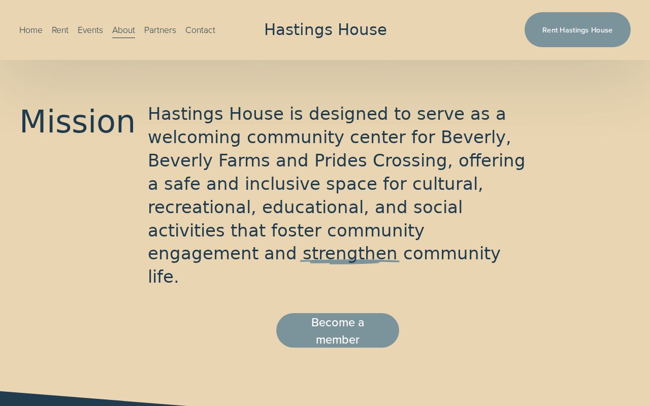
The association material gives community context, not a member roster or a private address list.
The BFIS about page provides the organization’s local history and stated civic purpose.
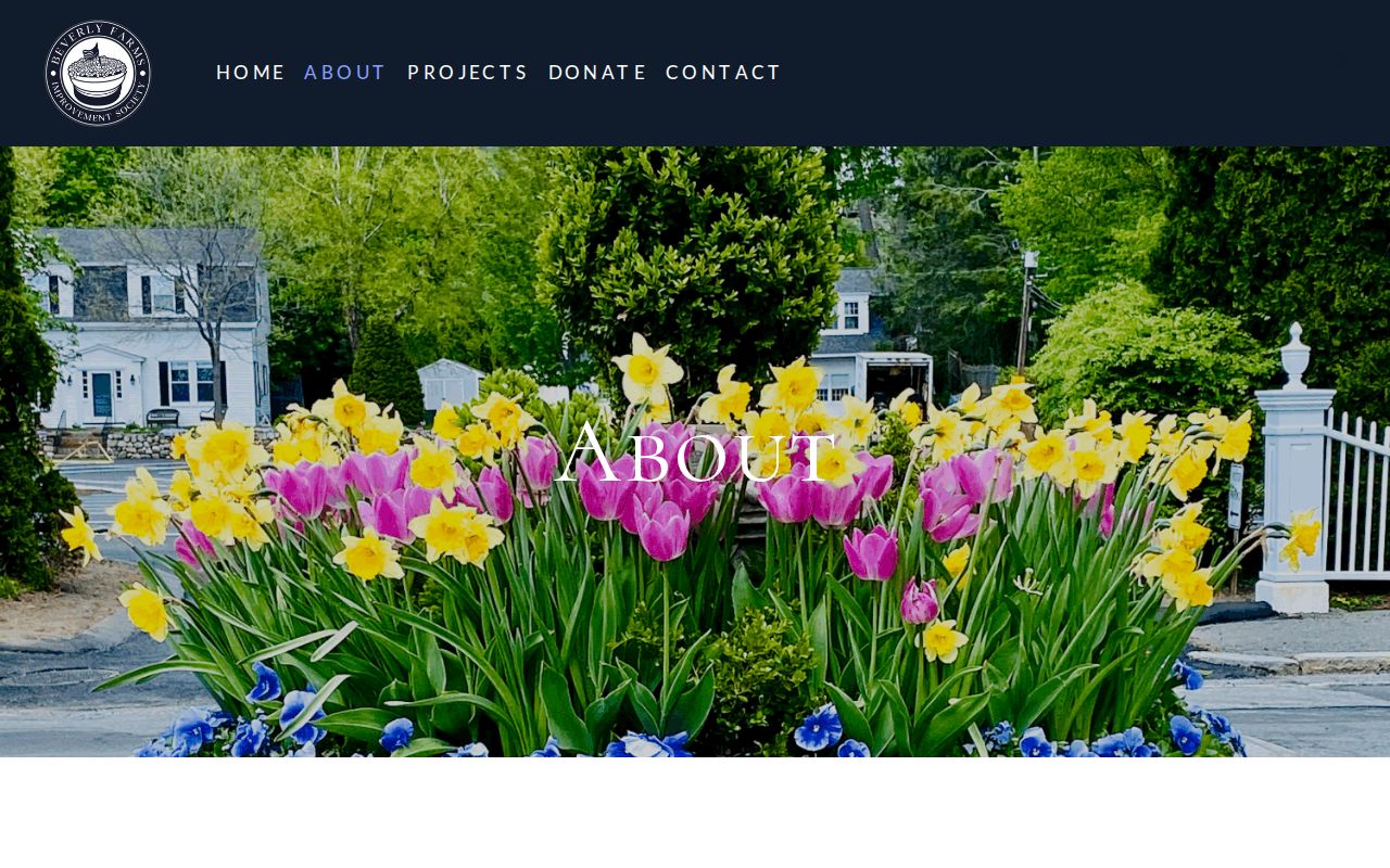
Its 1952 founding is useful historical context for these neighborhood labels, not a way to identify individual residents.
Beverly Neighbor Map Layers
Beverly’s ArcGIS web-map metadata identifies public layers and keywords for parcels, aerial photographs, wards and precincts, zoning, flood zones, wetlands, open space, roads, schools, library, post office, polling places, public facilities, historic resources, contours, soils, and land use. Turn layers on one at a time and record the layer date. Aerial and context layers can clarify what is near a parcel without making claims about title, occupancy, or a legal line.
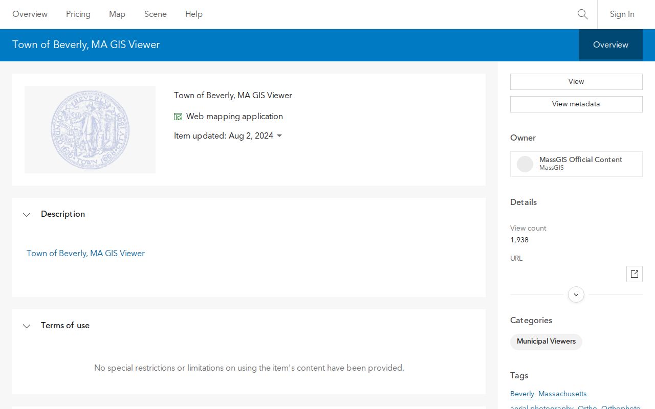
The ArcGIS view is most useful for orienting a Beverly block around public places and geographic constraints. Parcel boundaries may be approximate or have changed, so use a survey or recorded plan when a legal boundary is required.
Beverly Neighbor Agenda Context
Beverly Agenda Center can supply public civic context for a street, parcel, organization, or neighborhood. Its search fields include start date, end date, a word or phrase, and category. Categories include Assessors, Cemetery Commission, City Council, Licensing Board, Planning Board, and Registrars of Voters. Search an address or street only when it may appear in a public agenda or minute packet, and distinguish a meeting mention from an official decision.
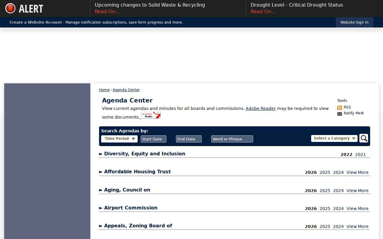
Agenda material can explain a zoning, permit, civic, or public-project discussion near a block. It does not identify every neighbor or prove a continuing connection to the address.
Dated Beverly Neighbor Records
For an older block, use a directory or public street list as a year-specific source. The Beverly directory collection contains 76 volumes from 1886 through 1985, with gaps, and the Beverly Public Library’s local-history resources include street lists and newspapers. A historical listing should retain the volume year, page or item, spelling, and original street form. It is not an update to the map or assessment record.
Public voter information has a separate rule. Massachusetts permits a local public voter-list request through the local election official, but statewide lists are not generally public. A permitted local list can include limited registration fields, while phone, email, confidential voter records, permanent absentee status, veteran status, and minor records are withheld. Do not use the local list to construct a household roster. Beverly’s City Clerk is the municipal route for local election records and public street-list information.
| Official records and rolls | Commercial neighbor tools | Why the distinction matters |
|---|---|---|
| Shows a stated source, date, custodian, and record type | May combine or age information from different sources | Keep each relationship and date visible. |
| Has published access rules and a correction or request route | May not explain its source or update cycle | Verify uncertain material with the custodian. |
| Can be limited, incomplete, or protected by law | Can suggest more certainty than the underlying record supports | Do not use either category to expose private lives. |
Beverly Neighbor Privacy Limits
Some neighbor information is unavailable by design. The Massachusetts Address Confidentiality Program supports substitute addresses for eligible participants in specified transactions. RMV records are limited by the federal Driver’s Privacy Protection Act, and qualifying health-profession licensees can restrict home-address information. A GIS line, registry entry, or assessment card does not override those protections. Nor does a public record prove a private relationship, an unrecorded move, or current occupancy.
Massachusetts law addresses stalking and criminal harassment. Use public material for lawful personal research, neighborhood history, civic transparency, or a record question that the custodian can answer. Limit notes to the parcel, year, public source, and necessary context. Do not combine records to identify a protected address, track a person, or expose a private household.
Lawful use. Beverly neighbors records are for lawful, personal research and community context. Public access never permits stalking, harassment, intimidation, or harm.