
Start a Beverly Street Directory Search
Address-based research in Beverly has several separate tracks. The Assessors connect an address to an assessment record and parcel identifier. MapGeo and the city ArcGIS viewer put that parcel in its street, ward, zoning, and neighborhood setting. The Southern Essex Registry connects recorded instruments to a town, street, and number. A city street list or historical directory can place a name at an address for a particular edition. Keep those roles distinct. An assessed owner is not necessarily an occupant, and a historical listing does not prove a present connection.
- Normalize the street number, name, suffix, unit, city, and ZIP. Start with the address or location route in Beverly FY2026 Assessments Online / Patriot Properties WebPro.
- Save the property ID or parcel ID when it appears. Use it to compare the assessor result with MapGeo and other city records.
- Browse the same location in the GIS viewers. Note the parcel candidate, ward or precinct, zoning, public-context layers, and map date where shown.
- Search the Registry using Beverly, the street name without its suffix, the primary street number, and a date range. Review the instrument rather than relying on a hit list.
- For a dated household clue, ask the City Clerk about the public street listing book or use the library's historical directory set. The state voter lookup is for an individual's own registration status, not a street roster.
Write down the search date and the relationship each record actually shows. That small log helps when a parcel has split, a street number changed, or one source uses a mailing address.
Map a Beverly Street Address
Beverly MapGeo is the useful first map for a street directory search because it supports address or location searching, parcel selection, map browsing, and layer controls. The city ArcGIS viewer adds parcel, ward and precinct, zoning, and public-context layers such as facilities, wetlands, flood zones, and historic resources. A selected parcel can offer an identifier that helps reconcile an assessor result or permit record. Exact buttons and card fields are dynamic, so record only what the live viewer displays.
MapGeo helps place a Beverly street directory result on the block, but its lines are reference geography. The city’s parcel-map material says it is not a legal document, so title, a legal boundary, and occupancy require an appropriate record beyond the map.
Street labels may intersect more than one PlanBeverly neighborhood label. Preserve that overlap instead of assigning a property to one area from a ZIP or a rough map line. Downtown Beverly, Beverly Cove, Ryal Side, North Beverly, Centerville, Montserrat, Beverly Farms, Prides Crossing, Shingleville, and Gloucester Crossing are planning and community labels, not separate municipalities.
Read Beverly Assessor Street Results
The Beverly FY2026 Assessments Online / Patriot Properties WebPro portal is the property-record entry point for an address. Beverly Assessors maintain about 13,037 real-estate parcels, and the property card is the practical bridge from a street address to fiscal-year assessment context. Search paths identified in the research are owner or name, address or location, and parcel or account. The portal’s dynamic required flags and live labels remain portal-dependent, so confirm them on the current screen.
| WebPro field or result | Format | Availability | Street research use |
|---|---|---|---|
| Owner / name | Text | Mode-dependent | Find an assessment record tied to a person or entity. |
| Address / location | Text | Mode-dependent | Start from a Beverly street address. |
| Parcel / account | Text or result | Mode-dependent | Use a stable identifier across city sources. |
| Property ID and situs | Returned text | Result fields | Match the parcel candidate and physical location. |
| Owner / mailing address | Returned where shown | Portal-dependent | Document an assessed relationship, not residency. |
| Land, building, total, exemptions, sales | Returned values | Portal-dependent | Keep fiscal-year and prior-assessment context. |
Use the result as an assessment record only. A situs address is the physical property location. A mailing address can be different. Sales and prior assessments can form a timeline, but a sale date, deed recording date, and assessment date are different events. For an offline or historical assessor request, the city lists Bryant Ayles, Finance/Assessors/Accounting/Collector RAO, at 978-605-2315.
Trace a Beverly Street Deed Chain
The Southern Essex Registry classic search has a street mode with start and end dates, a Beverly town choice, street name, and street number. Enter the street name without Ln, Ave, Dr, or St, and use only the primary number, not a range or lettered number. The street index is limited to deeds and conveyances from 1995 forward. For an earlier transfer or a different record type, change modes to name, extended, book and page, or registered land, then verify the instrument and its prior reference.
The Registry screen is a useful Beverly street directory research tool, yet the Registry warns that online information is informational and not accurate for a title search. A deed hit can lead to grantor, grantee, document type, recording date, book and page or instrument number, town, and image link. Confirm title with the written records, at the Registry, or through qualified title work.
- Parcel
- A mapped unit of land used by city assessment and GIS systems. It is useful for matching records, but it is not a title opinion.
- Situs address
- The property’s physical location as the record presents it. It can differ from the owner’s mailing address.
- Plat or plan
- A recorded drawing that can describe lots, subdivisions, or references. Read the recorded plan rather than measuring a web map.
- Criss-cross directory
- A historical directory arranged by address instead of surname, useful for dated household research when a local collection provides it.
Check Beverly Parcel Permit History
Beverly’s Online Permit Center provides a parcel-oriented path for building, electrical, gas, plumbing, and mechanical work. The current system supports property or parcel context, permit status, inspections, comments, attachments, and recent history. Registration is required, and the details visible on a record depend on the permit type and current interface. Permit material can explain physical work at an address. It does not establish that a named applicant, contact, or owner lives there now.
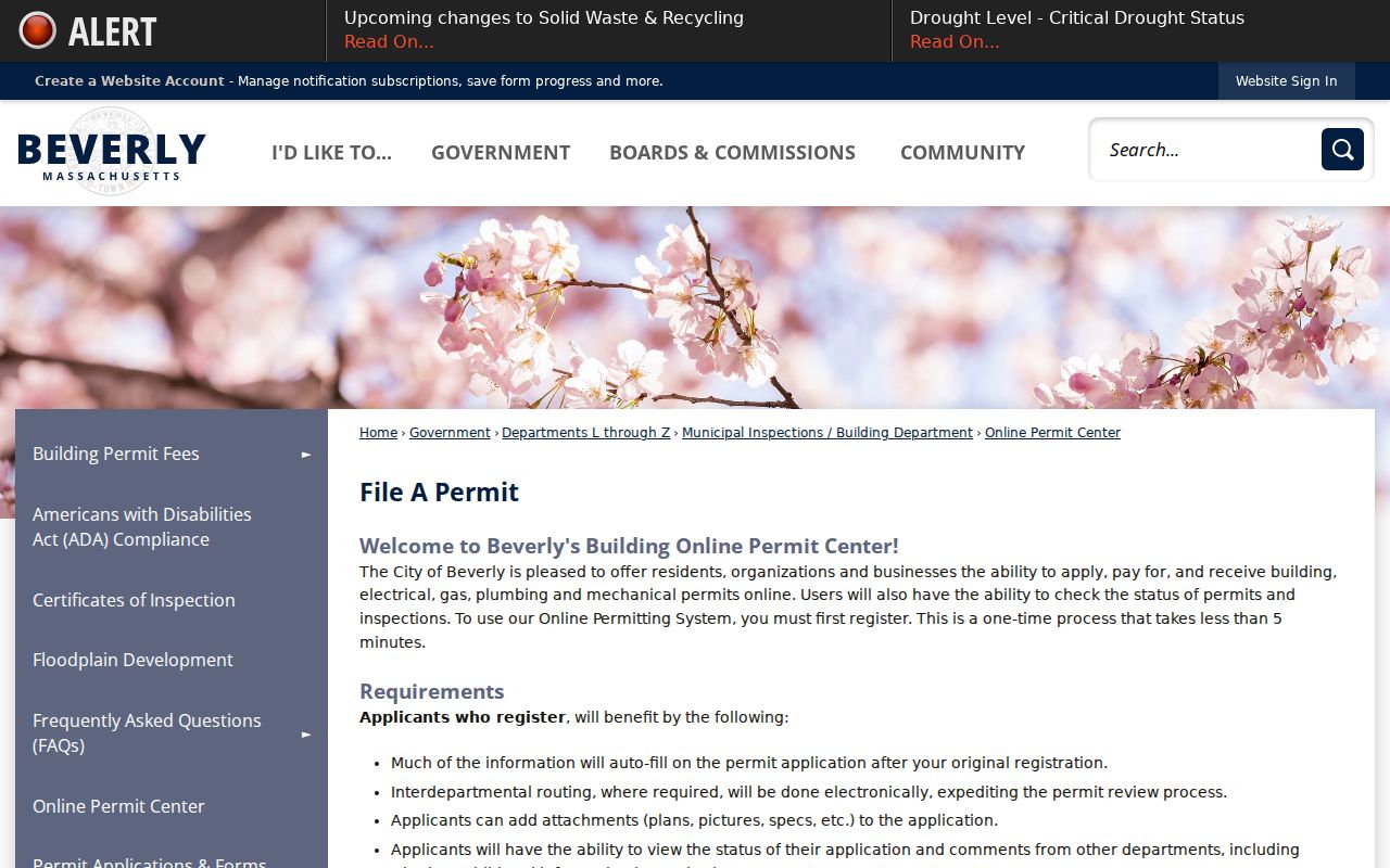
Beverly Planning and Community Development began using OpenGov on October 17, 2024. Treat the older eTRAKiT guide as historical interface documentation, not a description of the present search. For a solid street record, note the property or parcel, permit number and type, status, relevant application or issue dates, inspection events, and any access conditions.
Use Beverly Street Lists by Year
For a past household, the Beverly Public Library’s Local History and Genealogy collection holds street lists, city directories, maps, yearbooks, newspapers, and related local sources. Its digitized directory collection contains 76 Beverly City Directory volumes and North Shore maps from 1886 to 1985, with gaps. That is historical evidence, not a current people list. The City Clerk says Beverly completes an annual City Census and publishes a public street listing book, although the research did not locate a downloadable current edition or a complete field list.
Ask the City Clerk for the specific year, street, desired fields, access method, and whether protected records are suppressed. The local public voter file is a separate legal channel. Massachusetts says a local public voter list can contain name, address, party, date of birth, active or inactive status, and voter ID, while phone, email, veteran status, permanent absentee status, confidential voters, and minors are withheld. The individual Massachusetts Voter Registration Search instead checks a person’s own status using name, date of birth, ZIP, and an agreement.
Note: A Beverly directory or street-list hit is dated evidence and should be recorded with its edition, collection, page or item, and source date.
Place a Beverly Street in Context
One street can connect to several kinds of public context. ArcGIS layers include parcels, aerial imagery, wards and precincts, zoning, flood zones, wetlands, public facilities, roads, and historic-context points. PlanBeverly neighborhood names add a useful local label, while the city street and ward maps can help confirm the civic setting. These sources answer where a parcel sits and what public systems touch the block. They should not be blended into a claim about a household.
Historic sources add a second time layer. The Massachusetts State Library lists Beverly Sanborn map editions from 1886 through 1970, and the Library of Congress hosts the 1958 set. A Sanborn sheet can show building shape, construction, occupancy labels, and street addresses for its date. Use it with a directory or deed to study physical change. Do not turn a map occupancy label into a conclusion about a named person.
Compare Beverly Street Records
A useful Beverly street directory keeps the record sets separate before comparing them. The address or parcel identifier may join sources, but each source reports a different relationship. Start with the source that answers the narrow question, preserve the date, and then look for confirmation in the next appropriate channel.
| Address-keyed record | Keeper | What it can show | Access route |
|---|---|---|---|
| Assessment property card | Beverly Assessors | Parcel or property ID, situs, assessed owner where shown, values, and prior fields. | WebPro portal or assessor RAO. |
| Parcel and map layers | Engineering / GIS | Parcel candidate, street position, wards, zoning, and public context. | MapGeo, ArcGIS, city maps. |
| Deeds and plans | Southern Essex Registry of Deeds | Recorded instruments, parties, references, and plan links. | Online index, Registry records, or in-person research. |
| Permit and inspection history | Beverly permit offices | Public permit, status, inspection, attachment, and history details where exposed. | OpenGov Permit Center or department request. |
| Street lists and directories | City Clerk and Beverly Public Library | Dated listings, address history, and historical context. | Clerk inquiry, public-records request, library collection. |
When a result is incomplete, follow the documented fallback: check the agency page, use the Registry, library, courthouse, State Archives, or public terminal, then send a narrowly described request. Include the street, parcel, date range, and record family. Request segregable non-exempt portions and a fee estimate, rather than asking for a broad file about a person.
Know the Beverly Street Index Limit
The 1995-forward limit on the Southern Essex street index is an important Beverly street directory detail. It means a clean street query may find recent deeds or conveyances while missing an older transfer, a plan, or a record indexed another way. The Registry’s classic portal also offers name, extended, book and page, and registered-land modes. A parcel search that stops at one street hit can leave the older chain incomplete.
This is where the Registry’s broader record path and the local historical shelf meet. Save the book, page, instrument number, parties, and dates from each verified hit. Then search backward with the prior reference or party names. For address changes, compare original source spelling with a normalized street form, suffix, unit or letter, and source date. A consistent research log is more reliable than a single result list.
Request a Missing Beverly Street Record
When a municipal street record is not online, route the request to the department Records Access Officer through Beverly Public Records. Massachusetts public-records requests are governed by M.G.L. c.66 §10 and M.G.L. c.4 §7 cl.26. The agency generally responds within 10 business days by producing records, giving a time or fee estimate, explaining an exemption or inability to comply, or seeking more time under the law.
Describe the department, street or parcel, date range, record type, and preferred format. A written request is needed for an appeal. The request can ask for non-exempt portions if a document has protected material. For Registry records, use the Southern Essex Registry of Deeds at 100 Cummings Center, Suite 206-C, Beverly, MA 01915, or call 978-542-1700 to confirm the current access route before visiting.
Limit a Beverly Street Directory Search
A Beverly street directory can identify an address candidate, fiscal-year assessment context, a sequence of recorded instruments, public permits where exposed, and a dated directory or street-list entry. It cannot establish every current occupant, a private relationship, an unrecorded move, a complete title opinion, or a legal boundary from GIS. An address used for mail does not prove residence. A directory entry stays tied to its year, and protected voter, health, RMV, and safety-program information remains outside this type of search.
Massachusetts Address Confidentiality Program participants may use substitute addresses in certain state transactions, and restricted material must not be reconstructed from scattered public fields. If a result is sensitive, reduce the detail to the source, year, parcel, or general location needed for the research question.